About the creator
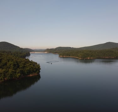
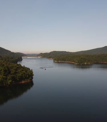
My name is Jason and I have been fishing for as long as I can remember. I started off as a kid riding my bike to local ponds and have worked my way up to professional guiding on North Georgia reservoirs.
I am a Cartersville resident, a husband, and a father of two. I'm a member of Crosspoint City Church and recently started boat captaining for Mount Paran High School. I founded THE FISH SCHOOL as well as CLOUD TO GROUND MEDIA (www.cloudtogroundmedia.com) in 2025 and am really excited for what 2026 has in store.
I studied Meteorology and Geography at the University of Georgia, and Geographic Information Systems, or GIS, at Kennesaw State University. I am also an FAA Certified Remote Drone Pilot.
The Fish School is my dream project of utilizing all of my technical skills to develop innovative fishing content as well as to connect with others (especially young fisherman) who share a common passion with fishing.
I want to build my brand upon a foundational focus on relationship, mentorship, and teaching.
I'm so thankful for everybody following along!
Jason